New: Connectors-iGeolise Travel Time (2.9+)
-
In Omniscope 2.9 (b820+) we have added an iGeolise Travel Time connector. This connector is available as an operation in DataManager and contains three services:
- Time Maps
Create isochrone shapes showing the area around an origin which can be reached in a given time period and using a specified mode of transport.
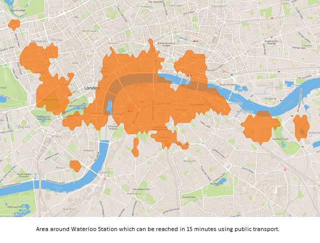
- Routing
Retrieve directions for your journeys. Configurable options include the start or arrival date/time and a mode of transport,
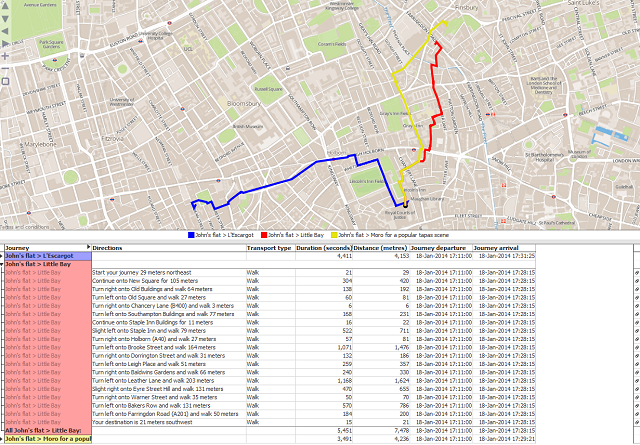
- Rank Points
Upload a collection of origin and destination points along with a mode of transport and maximum journey time. Travel Time will return only the destinations which can be reached in the given time period along with the distance and time taken to reach the location.

The DataManager block contains a link to iGeolise Travel Time's sign up page where you can create an account.
Please let us know if you encounter any problems or have any questions.Attachments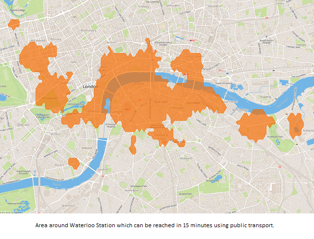
time map.png 551K 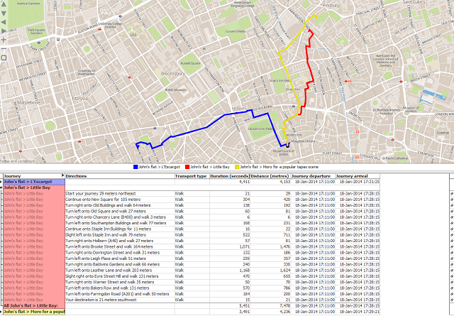
routing.png 371K 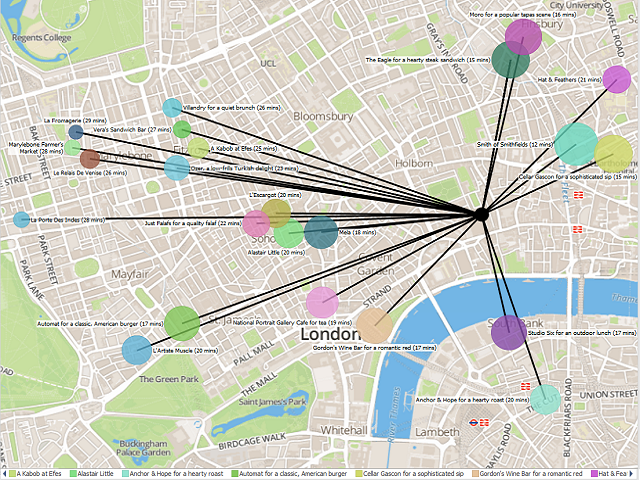
rank points.png 618K - Time Maps
-
2 Comments
-
Hi - does this connector still work? The website it redirects to for account registration doesn't seem to be maintained, but it was able to provide a key and application ID. I've still to get the connector to return any data as it seems to time out, and was hoping someone could confirm if they have used it recently.
The iGeolise product & website may have been migrated to www.traveltimeplatform.com under the same firm, but this makes no mention of Omniscope support.
Welcome!
It looks like you're new here. If you want to get involved, click one of these buttons!
Categories
- All Discussions2,595
- General680
- Blog126
- Support1,177
- Ideas527
- Demos11
- Power tips72
- 3.0 preview2
Tagged
To send files privately to Visokio email support@visokio.com the files together with a brief description of the problem.


