Demo: Importing Image File Metadata & Map View
-
Useful demo showing how to use the File Metadata Source:
> images from a mobile phone are saved in a folder
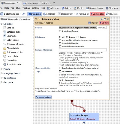
> folder is added to DataManager workspace as File Metadata source
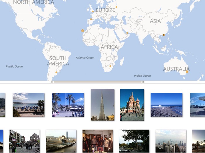
> Omniscope reads the metadata tags on import, including longitude/latitude tags recorded by the camera
(Important: make sure that geo-location function is enabled for your mobile phone camera).
> Map view and Tile view will display photos with their location fixed on the map
> Every time new geo-coded images are dropped in the folder, Omniscope will prompt a refresh from source and add the newcomers...
 Attachments
Metadata photos.iok 356K 
Metadata Map Photos.JPG 112K 
MetaData DM.JPG 74K -
1 Comment
-

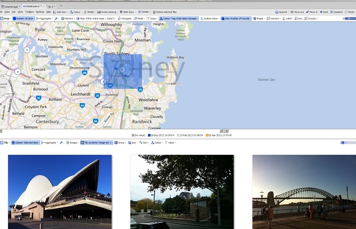
Selection on a map zone will reveal photos taken in that area...Attachments
Map w Photos Sydney.JPG 124K
Welcome!
It looks like you're new here. If you want to get involved, click one of these buttons!
Categories
- All Discussions2,595
- General680
- Blog126
- Support1,177
- Ideas527
- Demos11
- Power tips72
- 3.0 preview2
Tagged
To send files privately to Visokio email support@visokio.com the files together with a brief description of the problem.

